Land & Development
Development site and land drone photography in New Jersey.
Parcel coverage, boundary overlays, and context imagery for New Jersey land sales, entitlement applications, and investor decks.
Land is hard to photograph from the ground
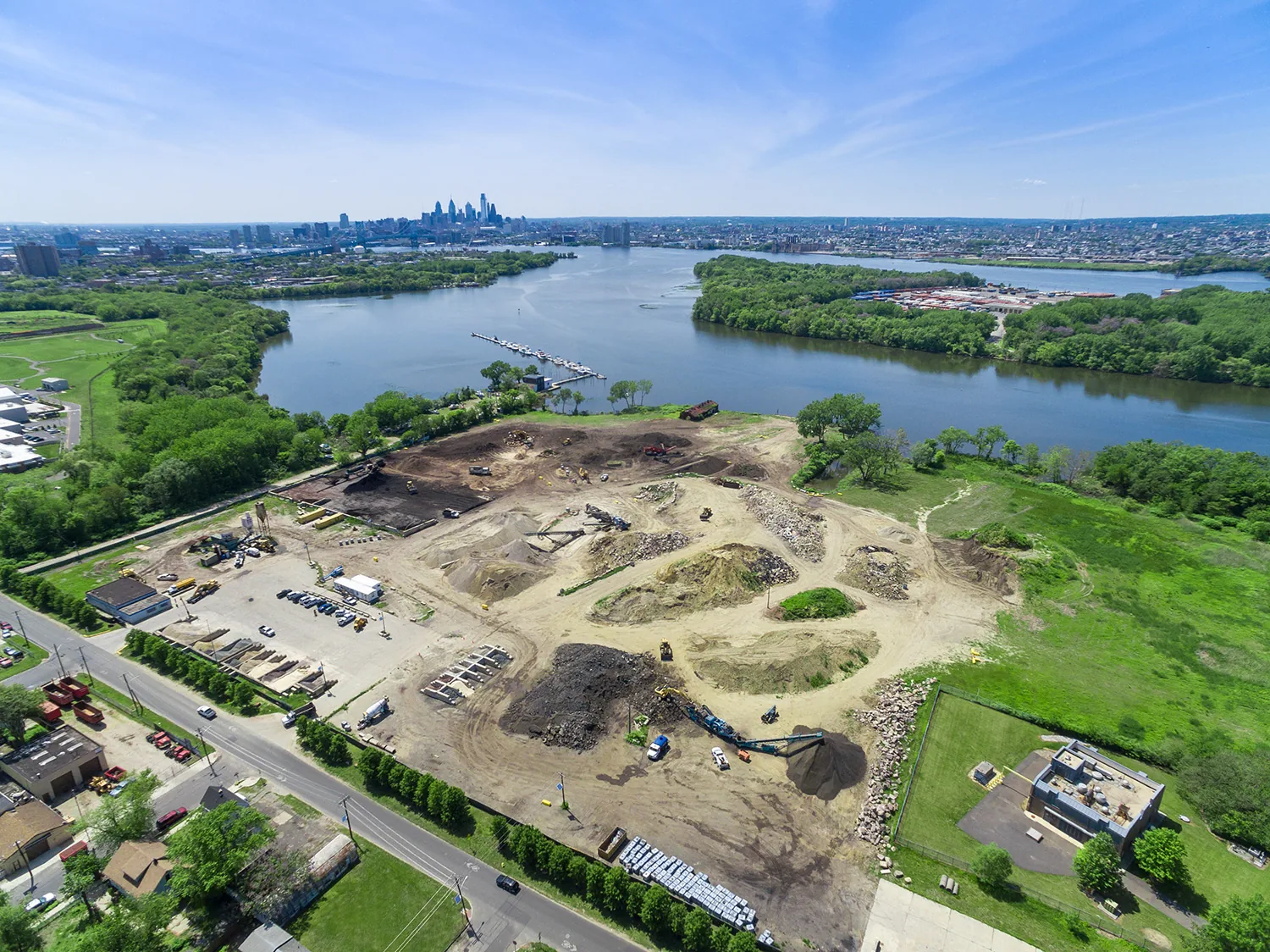
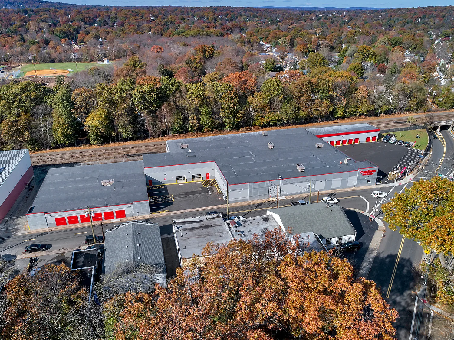
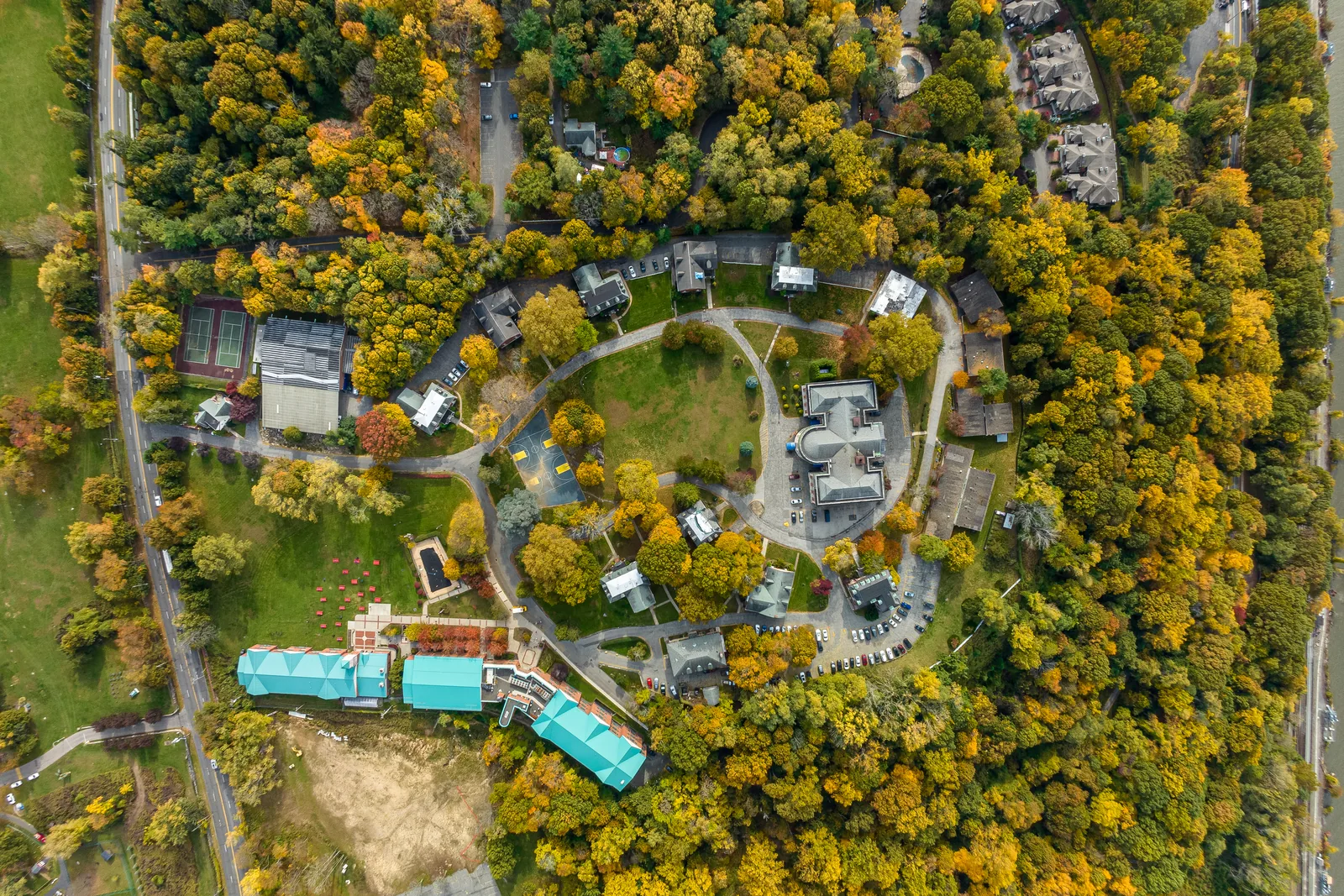
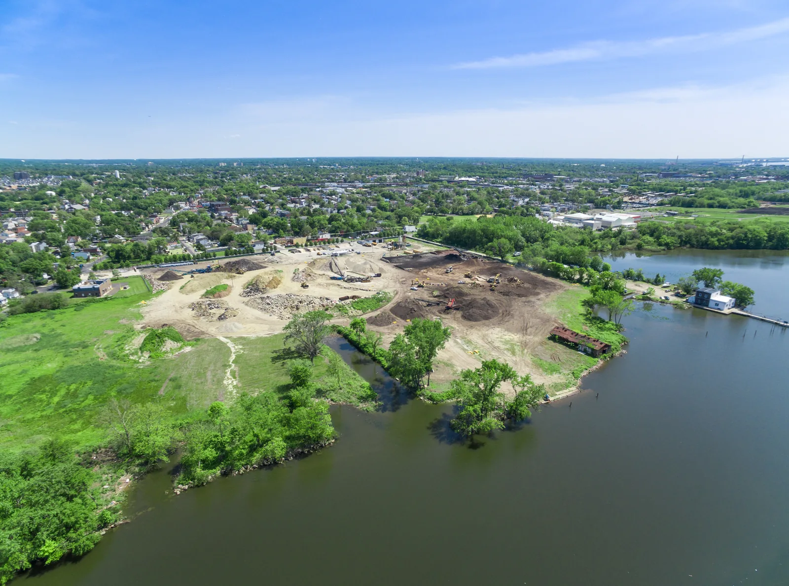
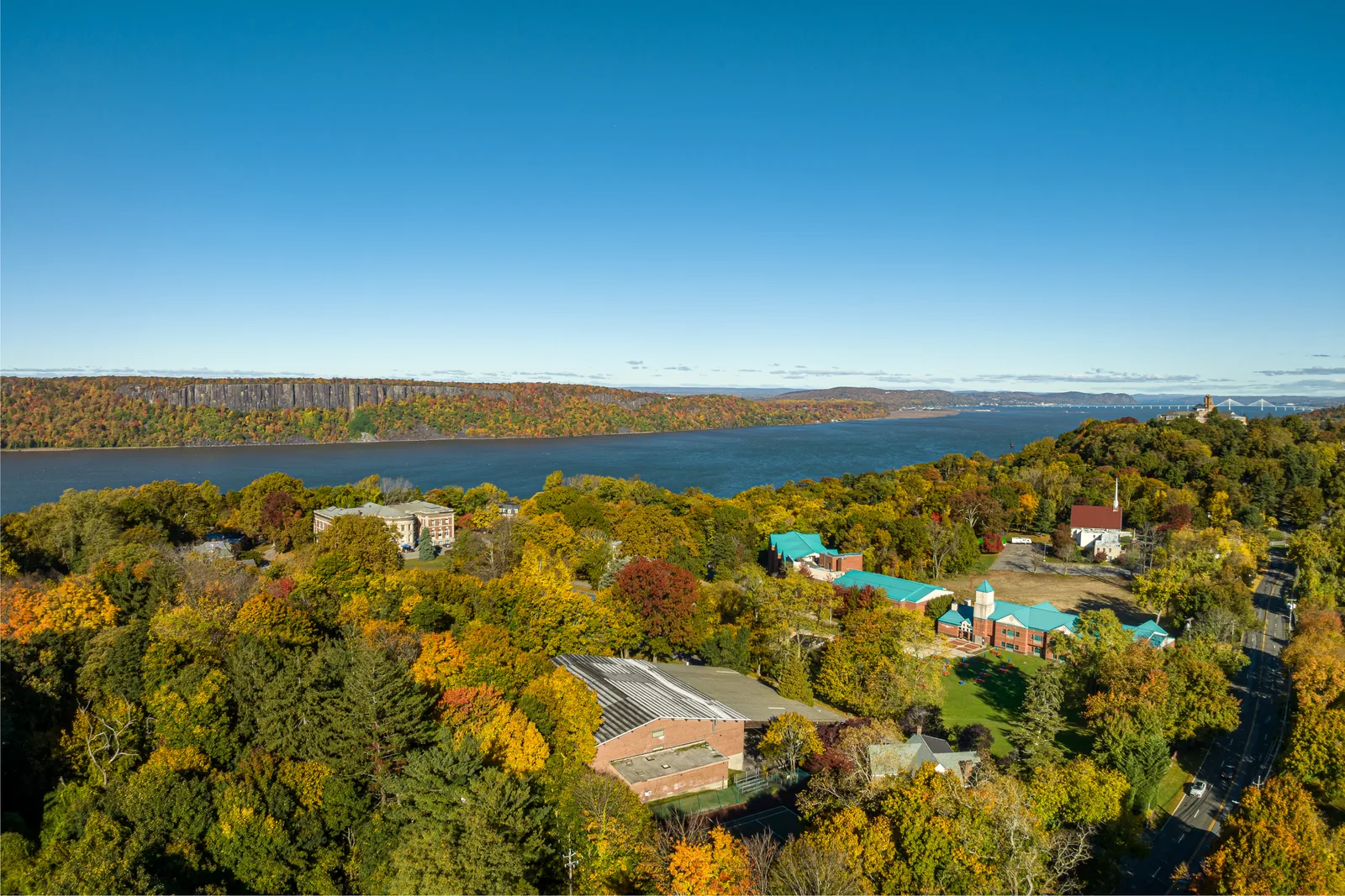
What sets a parcel's value (shape, frontage, topography, neighbors, and access) is hard to see from the road and obvious from 300 feet. Without aerials, a buyer's first look at your land is usually an outdated satellite image you don't control.
Made for the whole deal
Site aerials serve more than the listing: entitlement presentations, planning-board exhibits, investor decks, and lender packages all need the same accurate overhead view. We shoot with those uses in mind, with level horizons, consistent scale between images, and boundary-overlay versions your team can mark up.
Example: Camden riverfront
This development video shows the format: acreage, access, and the Philadelphia skyline in about a minute and a half, made for a developer marketing the parcel's potential. More finished pieces are on the video page.

Land & development questions
How do aerials help sell land that 'looks like nothing' from the road?
From the road shoulder, a parcel is trees and a sign. From the air, you see its shape, road frontage, cleared and wooded acreage, neighboring uses, and the interchange half a mile away: the facts a buyer is paying for.
Can you show property boundaries on the photos?
Yes. We can overlay approximate boundary lines from your survey or county GIS parcel data, clearly marked as approximate, which is standard for marketing use. Legal boundaries remain your surveyor's responsibility.
What does a development-site package include?
Typically high-altitude context shots of access and surroundings, mid-level parcel coverage, boundary-overlay versions, and a short orbiting video for the listing page, scoped to how the parcel is being marketed.
Get a land and development site aerial quote.
Send the block and lot or address and how the parcel is being marketed, and we'll reply with a scoped package.