Drone Photography
Drone photography in New Jersey for properties, sites, and facilities.
Edited, print-ready aerial stills across all 21 counties, flown by a former Air Force C‑5 pilot who has photographed with drones since 2012.
What drone photography shows about a New Jersey property
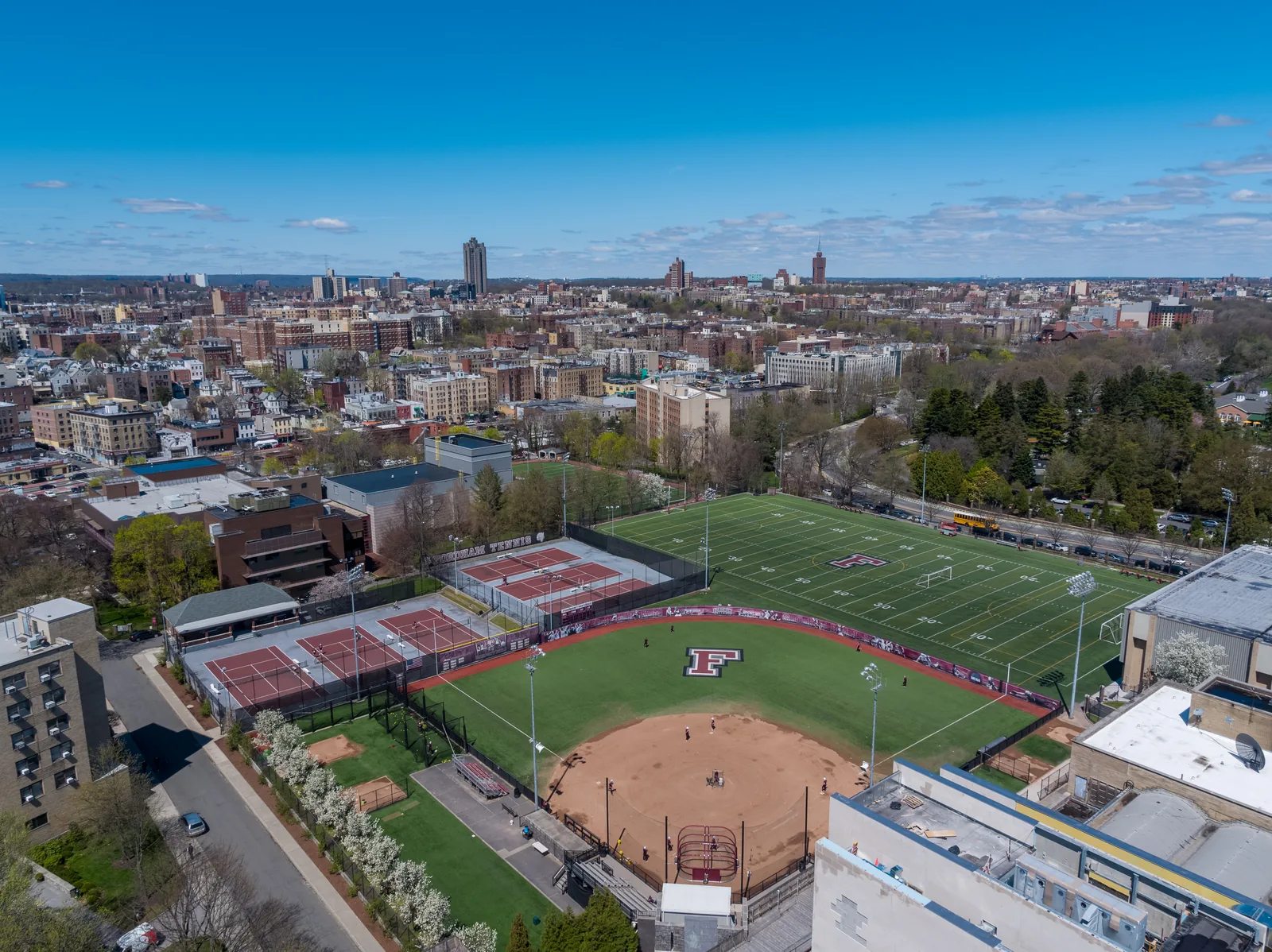
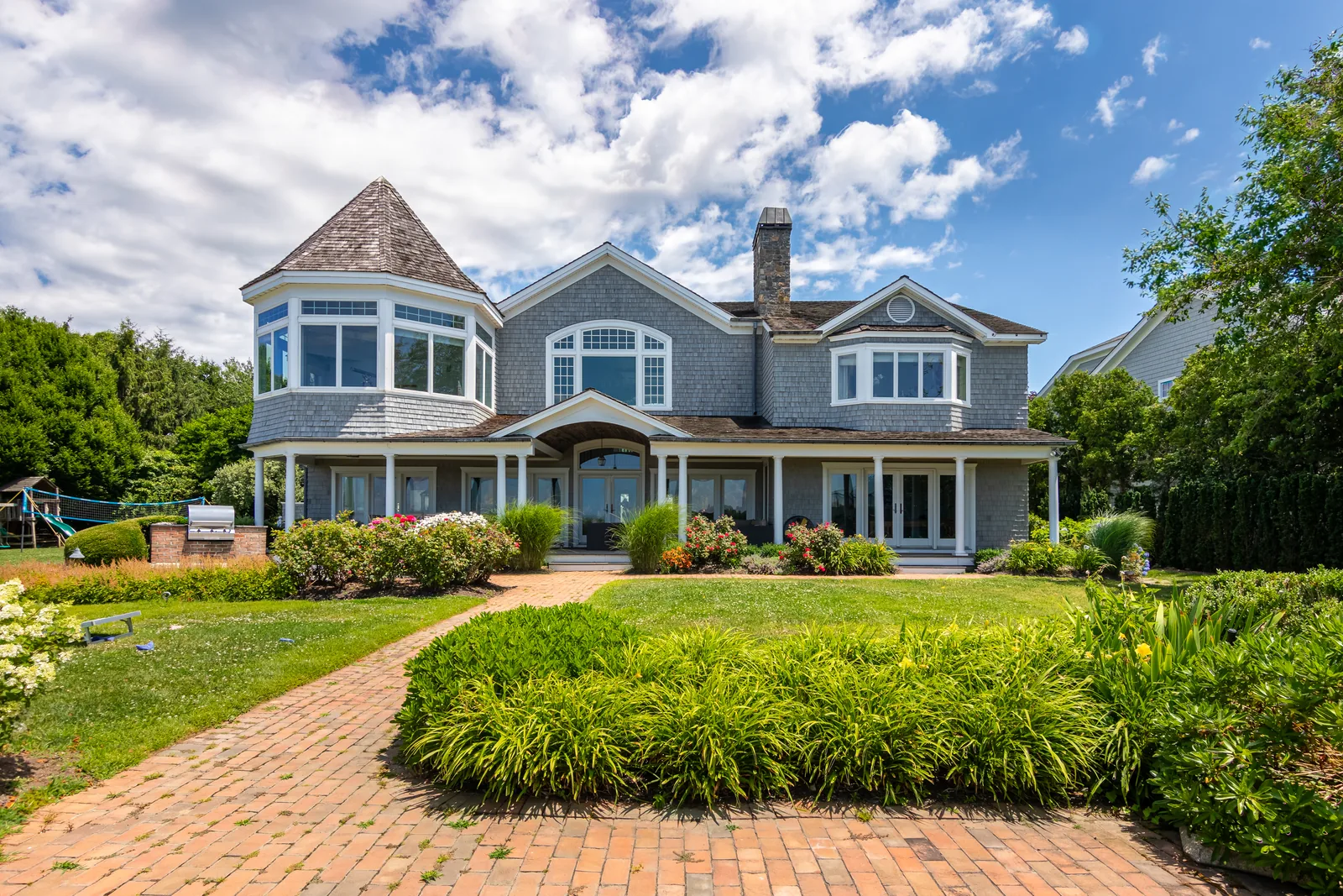
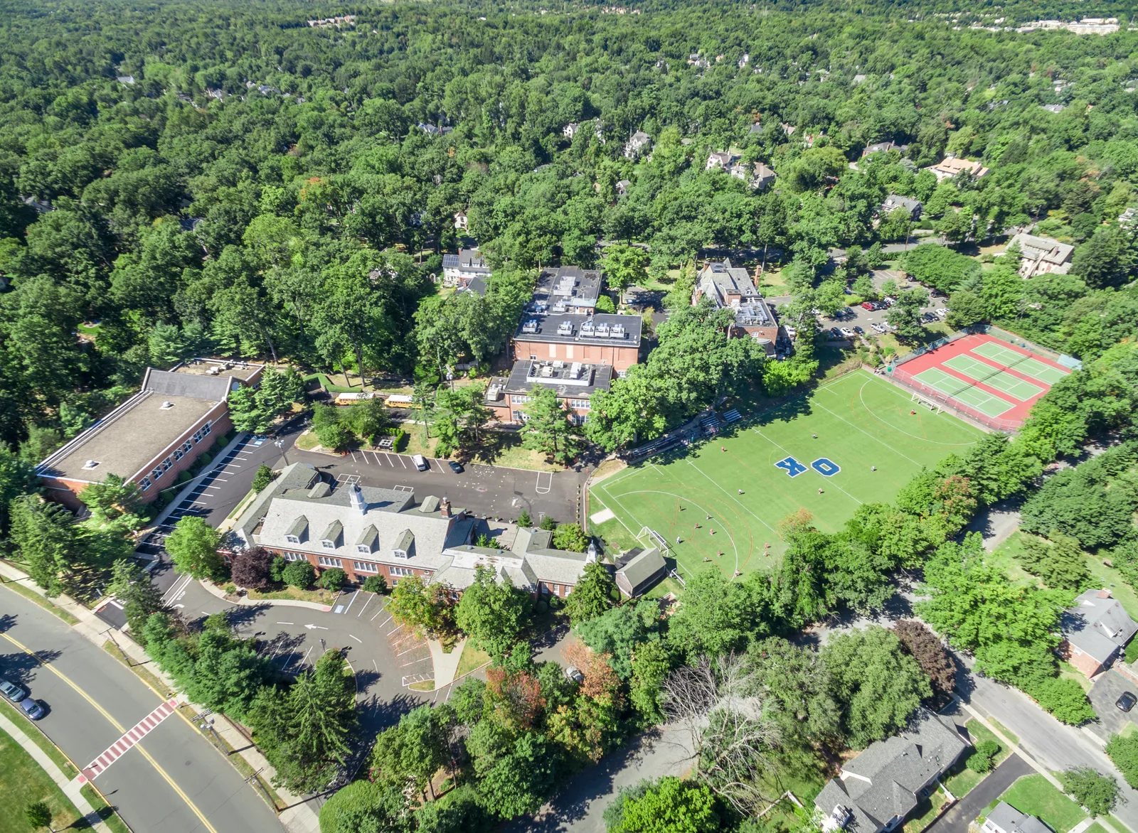
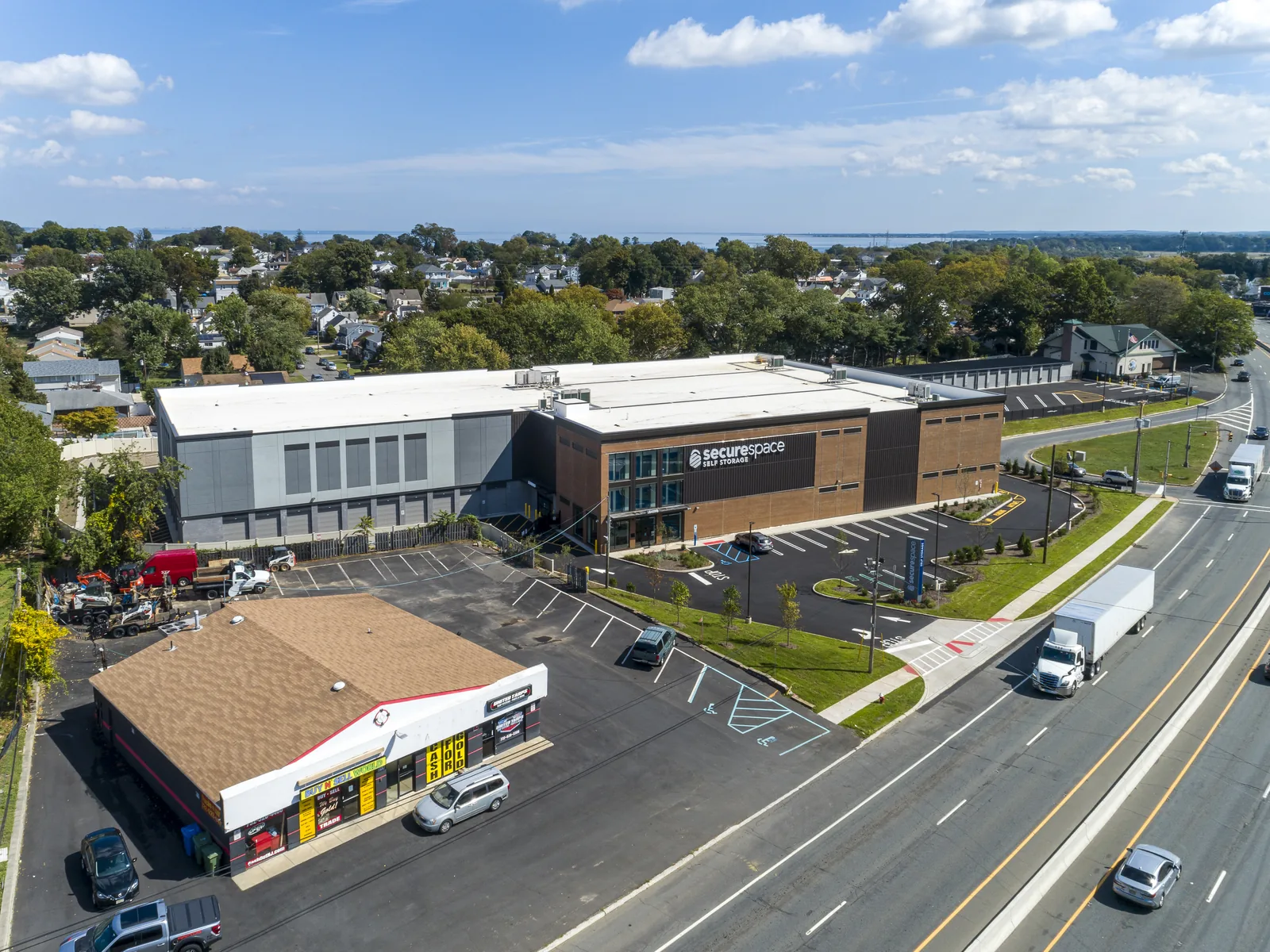
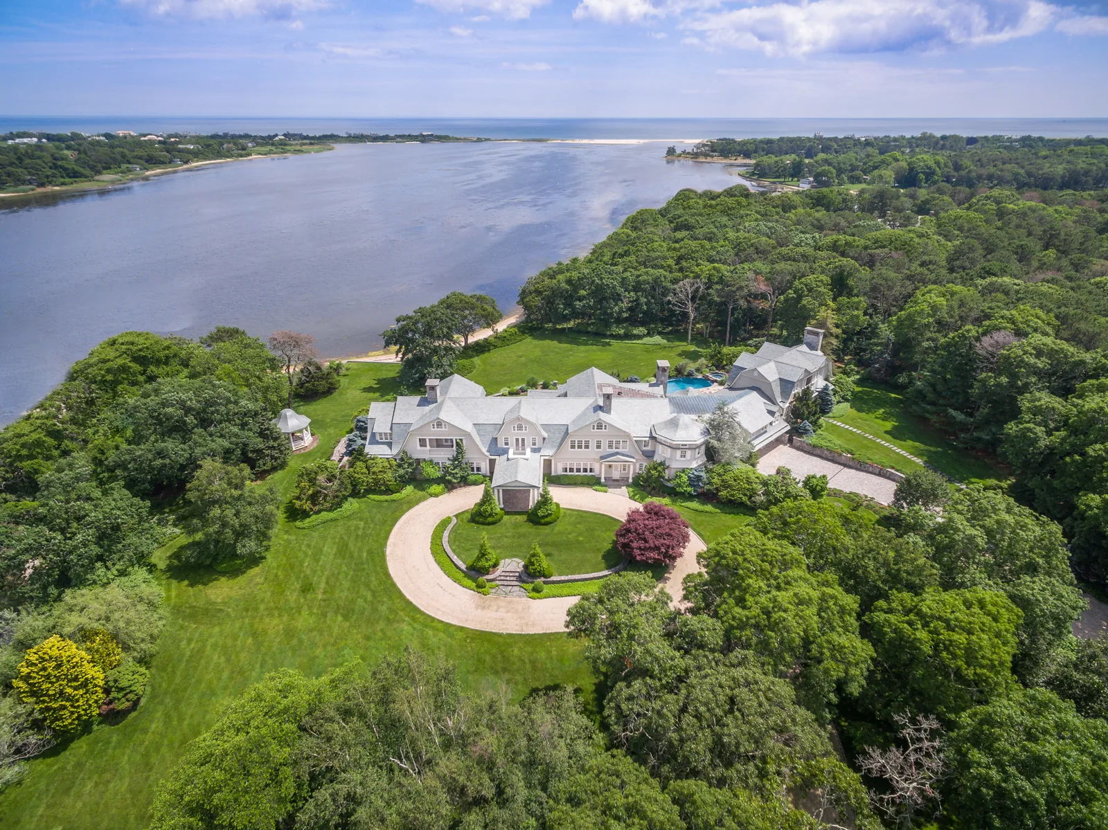
From the street, you see a facade. From 200 feet, you see the whole property: acreage, access, parking, roof condition, the nearby highway interchange a tenant cares about, and the water view a buyer pays for. It shows the property in its full context.
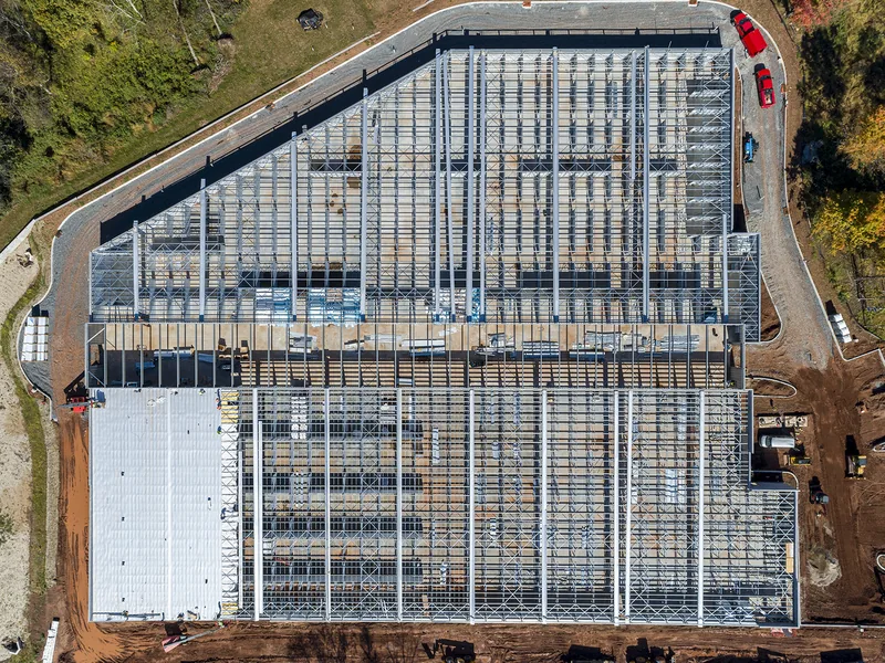
Every shoot starts with a shot list built around your goal. A leasing team needs neighboring tenants and road frontage legible in one frame. A builder needs angles that can be repeated exactly next quarter. A listing agent needs the light that shows the yard at its best. Because the shots differ so much, we ask what the photos are for before we quote.
Individually edited
Every delivered image is individually edited: exposure balanced against the sky, color corrected, lens distortion removed, horizons leveled, and distractions cleaned up, so the images can run full-size in print and on the web.
Flown legally in New Jersey's controlled airspace
Northern New Jersey has some of the busiest airspace in the country, with Newark Liberty, Teterboro, and the New York Class B overhead. We fly under FAA Part 107 and obtain LAANC authorization for any site inside controlled airspace. If you've been told your property is in a no-fly zone, send us the address; most such sites can be flown with an authorization.
Photography questions
How many photos do I get from a drone photo shoot?
Enough to cover the property fully: typically an edited set of wide context shots, mid-range angles, and detail frames, with the count agreed in your quote. We deliver the selected images, each individually edited, rather than everything on the memory card.
Can you shoot both aerial and ground-level photos?
Yes. Many jobs combine aerial and ground photography, edited together so the full set matches in color and style.
What resolution are the images?
High-resolution stills suitable for large-format print such as site banners and brochures, plus web-sized versions for MLS and your website.
How fast can I get the photos?
It depends on the project, but we work to your deadline. Tell us when the images are needed, and for urgent jobs we expedite the editing.
Get a drone photography quote in New Jersey.
Send the address and what the photos are for, and we'll reply with a shot list and a specific price.